Info
District: Akka (Acre)
Population 1948: 380
Occupation date: 16/07/1948
Jewish settlements on village/town land before 1948: None
Jewish settlements on village/town land after 1948: None
Background:
The village, situated on the site of the Crusader “Careblier”, stood on a small rocky hill overlooking the plain of Acre. A secondary road connected it with the villages of al-Damun and al-Birwa, to the north, and ultimately to the Acre-Safad highway. This road also linked it to the main Acre-Haifa road, on the coast. It was located 12 km southeast of Acre.
After occupying Nazareth on 16 July 1948, units of the Israeli army's Seventh Brigade advanced into Western Galilee to take some of the villages in the district of Acre, including al-Ruways. Bolstered by successes at al-Ruways and other villages, Israeli forces moved deeper into Central Galilee towards Sakhnin. Most civilains in the area fled under bombardment or as a result of the fall of neighboring towns (Nazareth, Shafa, 'Amr, and others).
There are no Israeli settlements on village lands. The settlement of Ya'sur, established in 1949, lies to the north of al-Damun and cultivates the lands of al-Ruways.
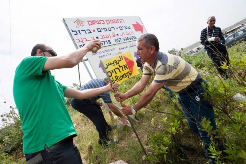
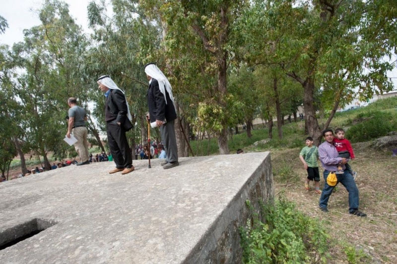
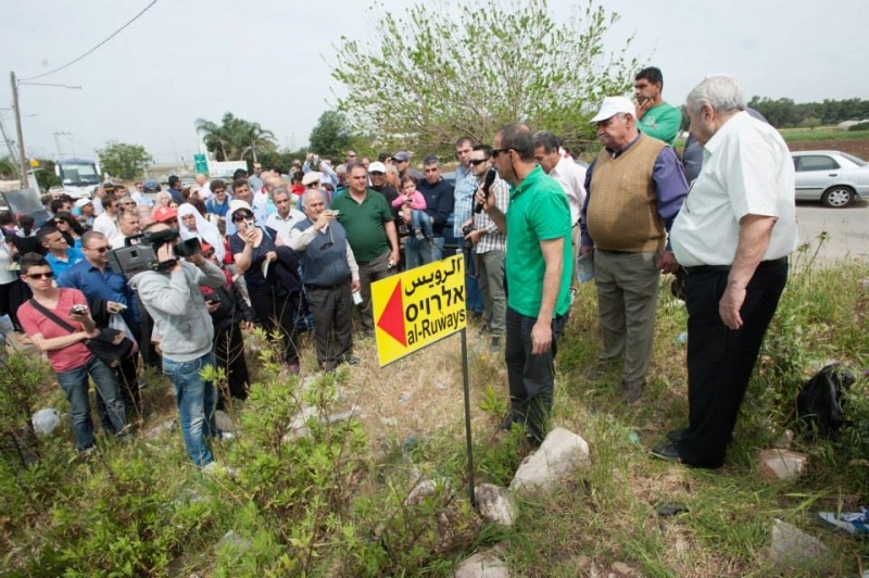
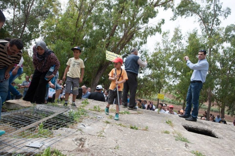
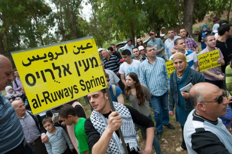
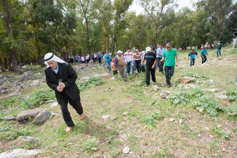
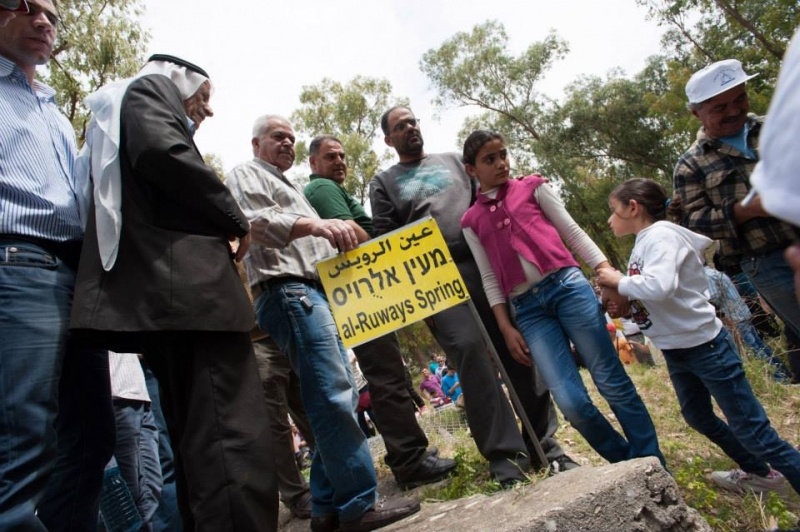
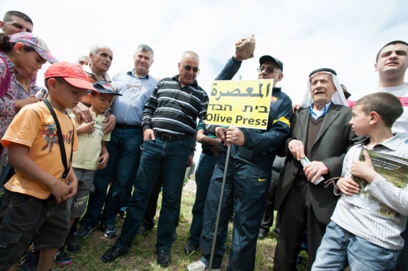
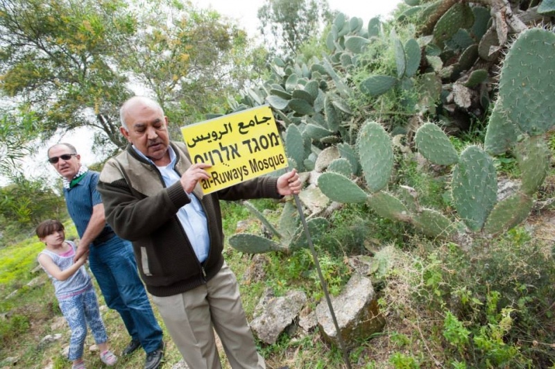
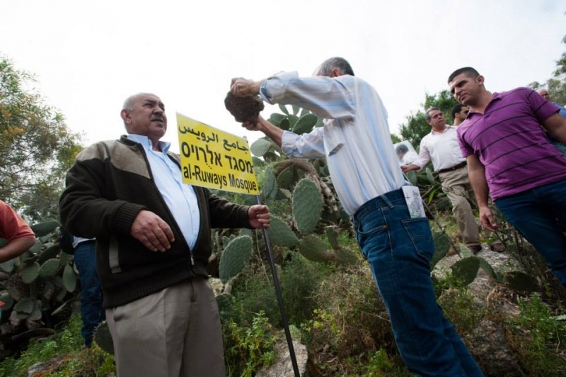
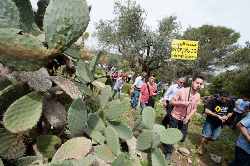
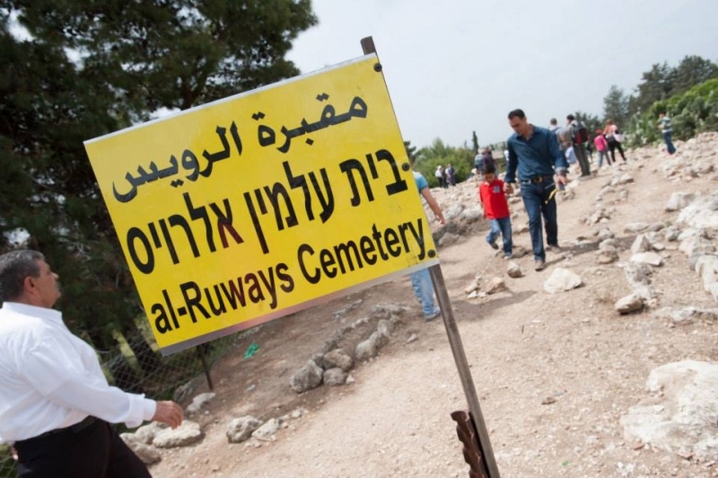
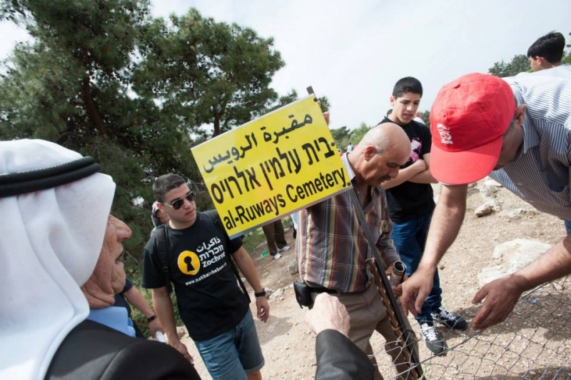
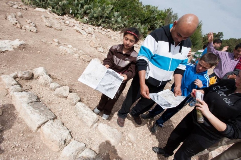
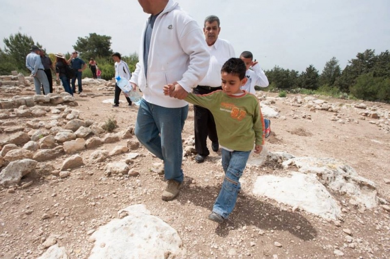
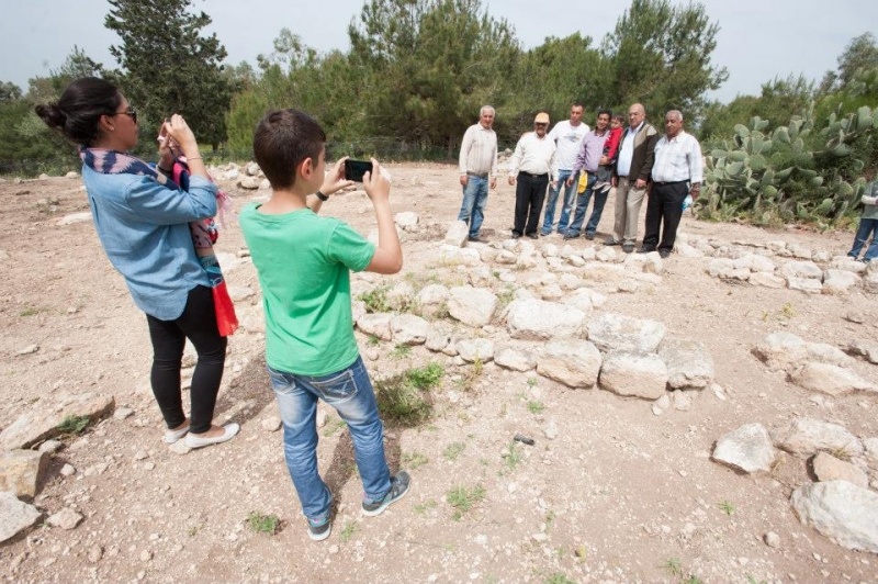
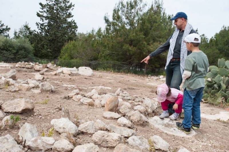
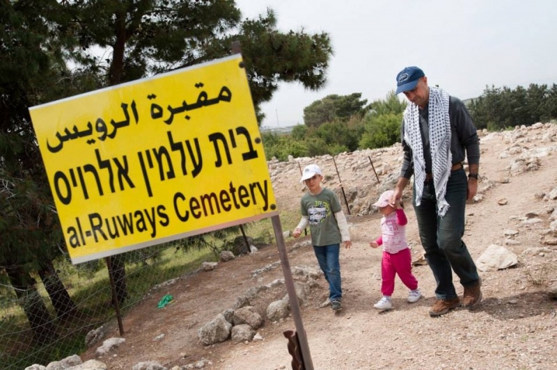
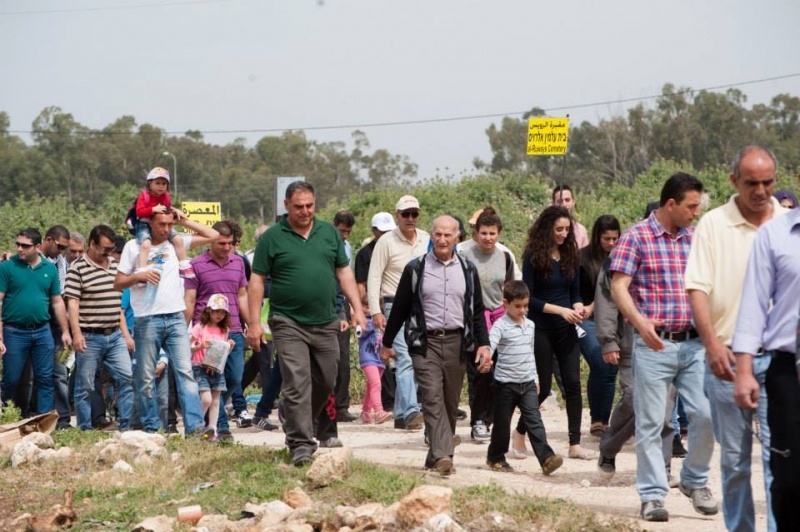
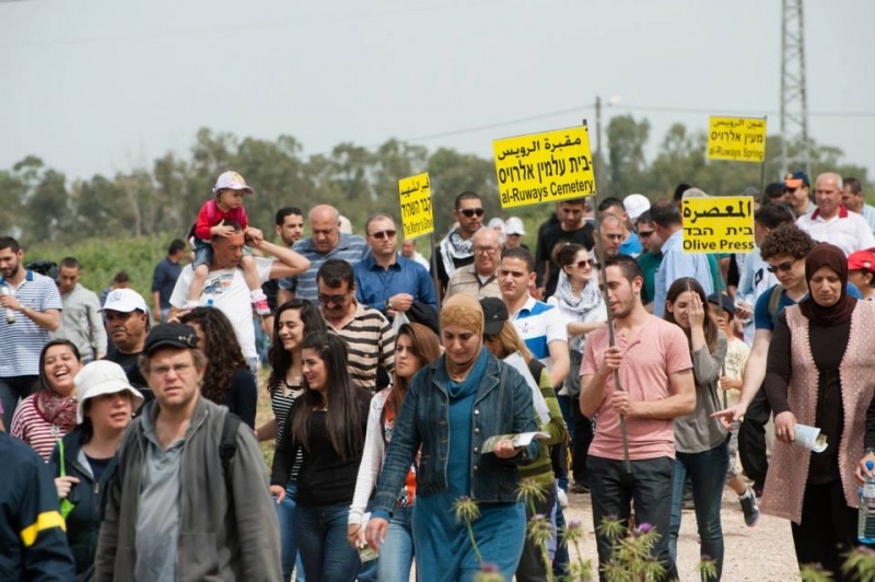
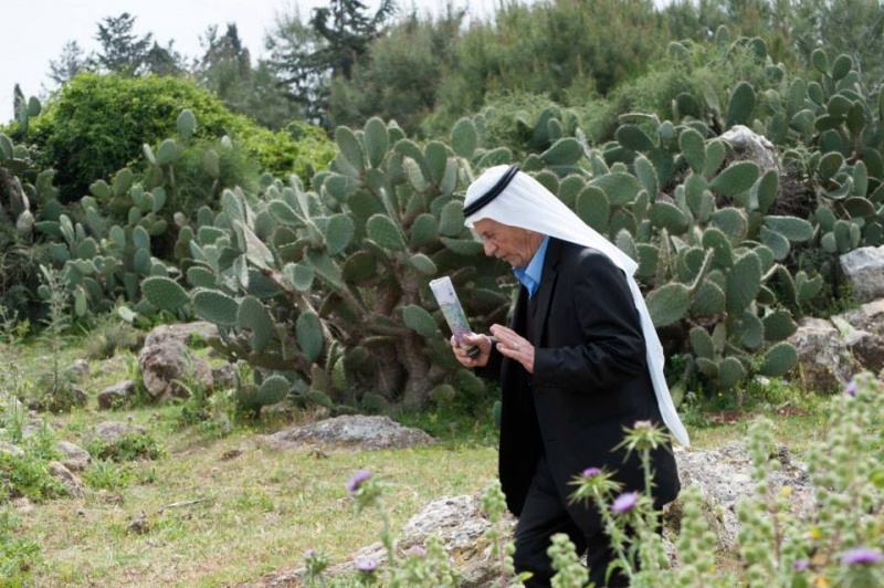
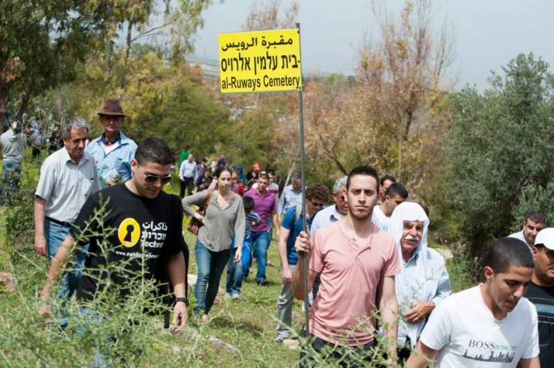
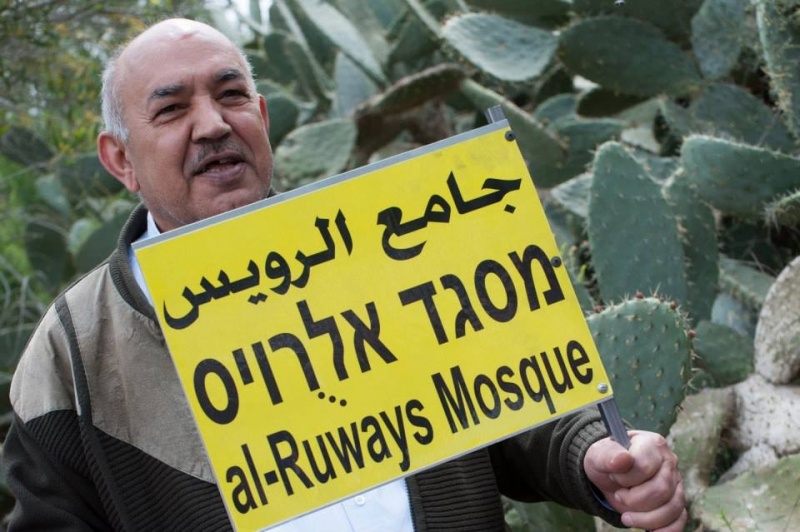
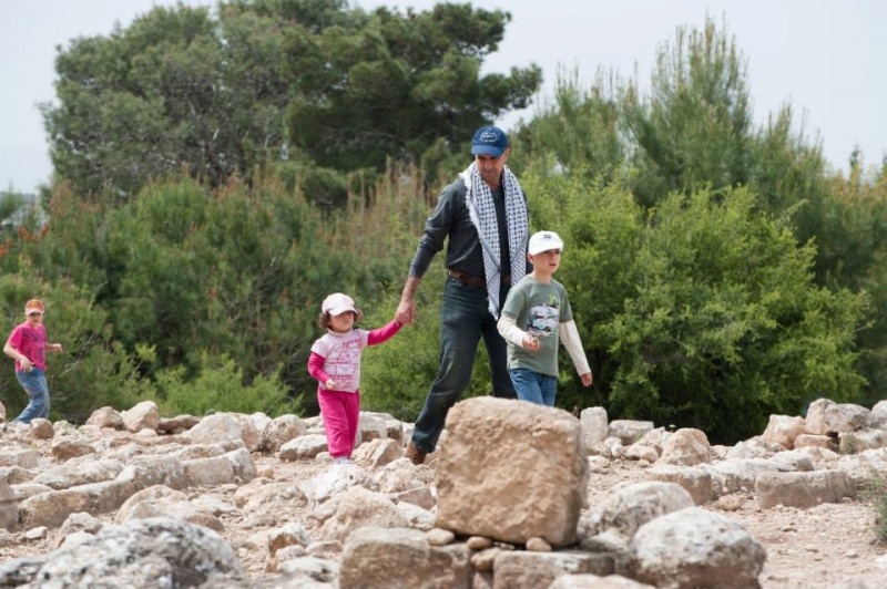
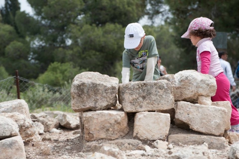
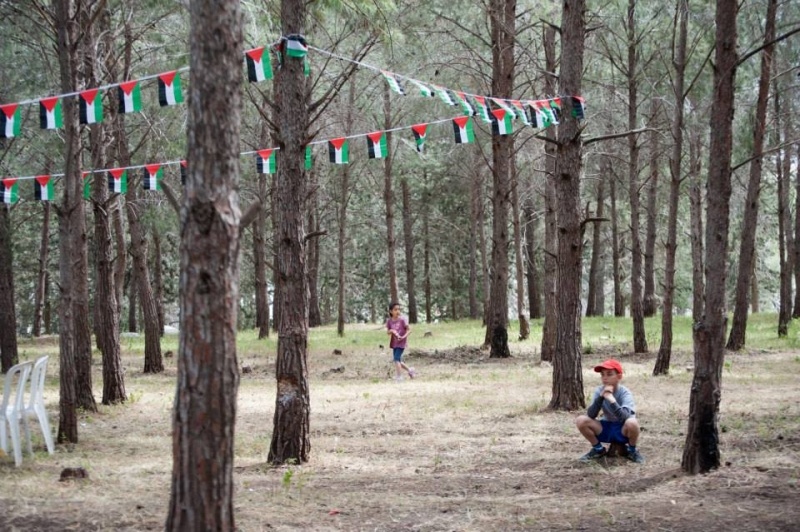
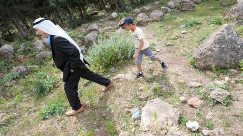
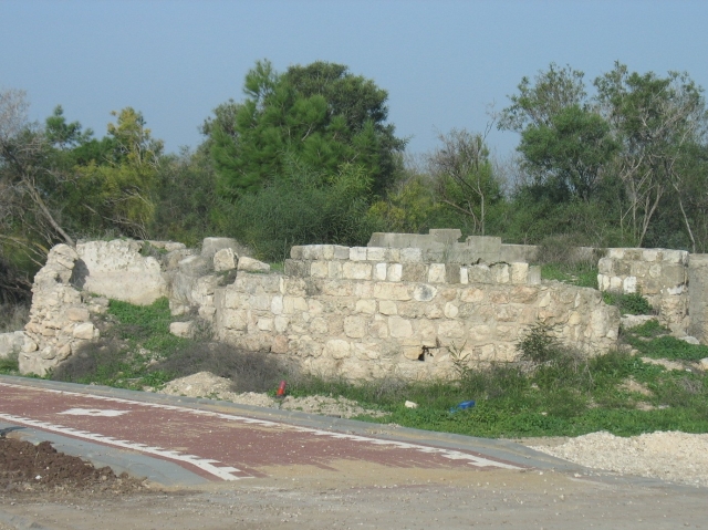
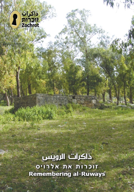
The site is deserted. The debris of old wells and cement roofs is strewn other the site, which is otherwise covered by a forest of eucalyptus trees and cactuses. The surrounding lands are cultivated by the residents of Ya'sur.
Videos
From Truth to Redress: Realizing the Return of Palestinian Refugees
International Conference in Tel Aviv, September 29-30 2013


