Info
District: al-Quds (Jerusalem)
Population 1948: 100
Occupation date: 09/04/1948
Occupying unit: Palmah 4st battalion
Jewish settlements on village/town land before 1948: None
Jewish settlements on village/town land after 1948: None
Background:
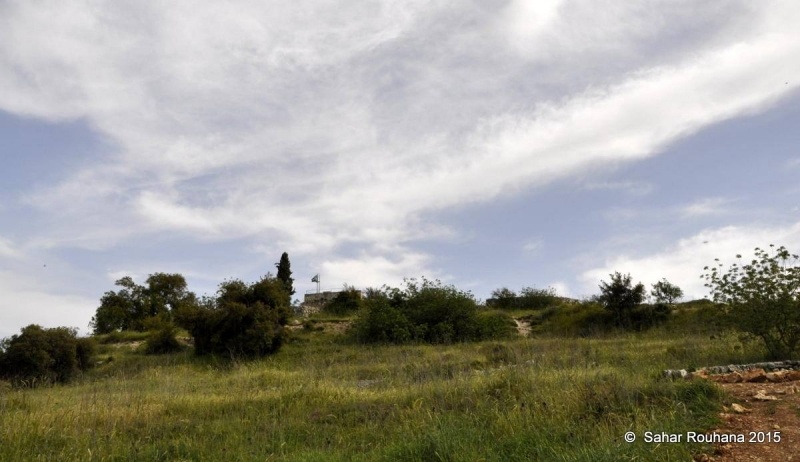
The village stood on top of a high, rounded hill, overlooking wide expanses in all four directions. It overlooked the al-Quds (Jerusalem)-Jaffa highway to the north and northeast, to which it was linked by a secondary road. Its position over the highway accorded al-Qastal a strategic significance. The village name was derived from the Latin castellum, the term for the Roman castle that was built on the site. The old Roman castle was renovated or rebuilt and named Belveer des Croises during the Crusader period.
The village residents, who were predominantly Muslim, maintained a shrine for a local sage, one Shaykh Karaki, on the western edge of the village. The villagers relied on the neighboring city of al-Quds (Jerusalem) for many of their needs. They cultivated rainfed grain, vegetables, and fruit and olive trees. Their agricultural lands were concentrated in a rectangular strip southwest of the village. In 1944/45 a total of 42 dunums was planted in cereals; 169 dunums were irrigated or used for orchards, of which 50 were planted with olive trees.
Occupation and Depopulation
The occupation of al-Qastal took place before the official start of Operation Nachshon. Israeli historian Benny Morris claims, improbably, that it was the “first Arab village during the 1948 war to be taken by the Haganah with the aim of permanent conquest and occupation“.
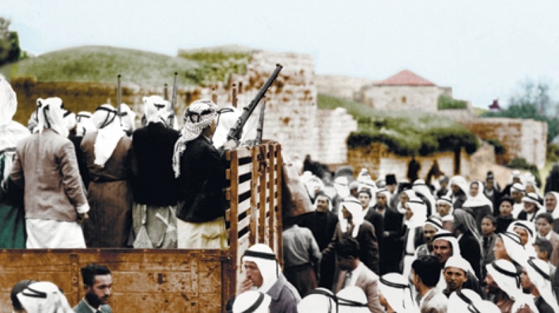
The Palmach’s Fourth Battalion attacked and occupied the village on 3 April. A spearhead unit of commandos stormed the village before dawn; it was soon followed by the main force, which fought off counterattacks into the night. According to Palmach documents, the initial attack was unopposed and the village’s defenders and the inhabitants had left beforehand. But Palestinian historian ‘Arif al-’Arif states that it was defended by fifty of the village militiamen, who only withdrew when their ammunition ran out. A report in the Palestinian newspaper Filastin confirms that the villagers had evacuated after an attack in mid-March but says that a number of the village’s men had remained to defend it.
The paper said that the defenders broke through the siege laid by the Haganah forces and retreated to a nearby village. On 5 April, the Haganah occupiers built a barbed-wire fence around their positions and two days later used training planes to drop bombs on Palestinian forces surrounding al-Qastal, according to the New York Times. The village was retaken by Palestinian guerillas in a battle on 8 April during which their leader, Jerusalem commander ‘Abd al-Qadir al-Husayni was killed. The Haganah account states that a number of Jewish commanders also were killed while retreating. Several days of heavy fighting had preceded the final Palestinian counterattack. The New York Times correspondent wrote “They swarmed up the steep boulder-covered slopes shouting their battle cries.“
However, Palmach forces reoccupied it in an assault which began on the night of 8-9 April. When they approached the village this time, the brigade was surprised to find it deserted; on 9 April, most of the men who had recaptured it were participating in the funeral of their slain commander, which was being held at the mosque of the Dome of the Rock in al-Quds (Jerusalem). The Palmach forces surrounded the village with a number of armored vehicles to precent reinforcements from arriving and proceeded to overrun it. The attack occurred at the same time as the massacre at Dayr Yasin, less than 5 km away. The History of the Haganah states that “el Qastal returned once again and forever into Jewish hands.“
As soon as they had reoccupied it, the Palmach units started to destroy its houses, thus setting a precedent for all the villages taken during Operation Nahshon. The reason given for the levelling of the village was that it would make the site easier to defend and prevent it from falling back into Arab hands. Palestinian historian al-‘Arif states that all buildings in the village, including the shrine/mosque, were destroyed by Zionist forces. A New York Times story confirms that the village mosque was destroyed, but states that this had occurred in the previous month, during the night of 16 March. The newspaper article quoted ’Abd al-Qadir al-Husayni, who was later to lose his life fighting for the village, as saying that the demolition was a “shameful act“ and that the mosque “has never been used for anything but worship“.
Israeli Settlements on Village Lands
The settlement of Ma’oz Tziyyon was established in 1951 on village lands. It was later joined with Mevasseret Yerushalayim, founded in 1956 on the lands of Qalunya, to form the al-Quds neighborhood known as Mevasseret Tziyyon.
The Village Today
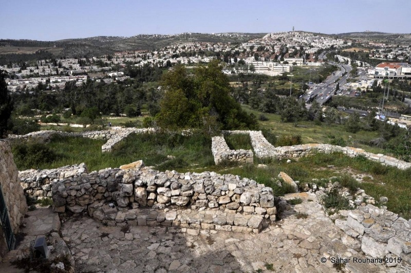
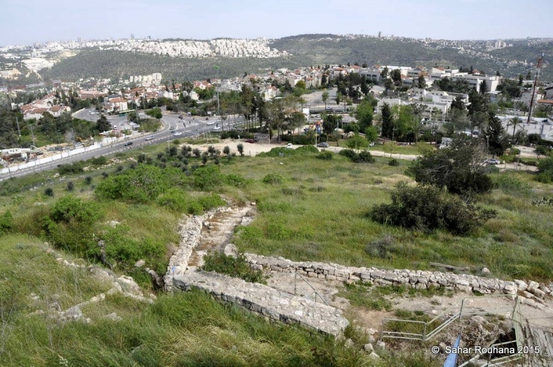
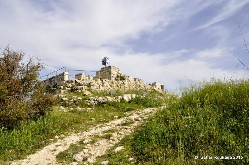
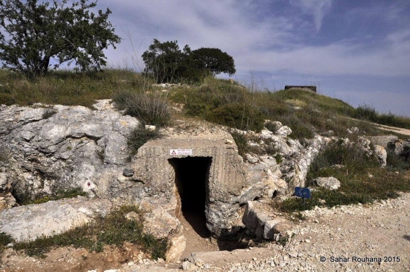
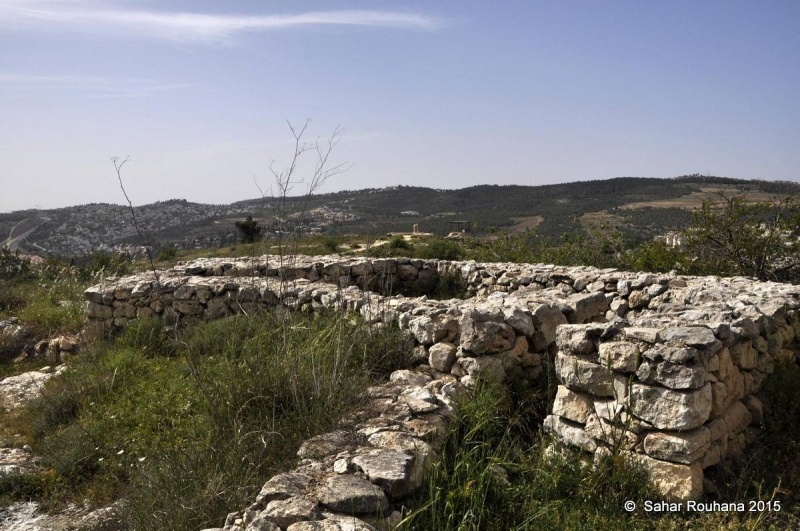
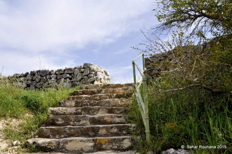
The southern, northern, and eastern slopes of the site are covered with stone rubble and the ruins of stone terraces, half-concealed by wild grass. The ruins of the old castle lie on the mountain top. An underground shelter has been built on the site, southwest of the fortress. Olive, carob, and fig trees grow on the north and the west sides of the site, and cactuses grow on the southern side. The entire site, including parts of the fortress, has been turned into a national park and serves as an Israeli tourist attraction.
-----------------------
Source: al-Khalidi, Walid (ed.). All that remains: the Palestinian villages occupied and depopulated by Israel in 1948. Washington DC: 1992.


