Info
District: Haifa
Occupation date: 26/07/1948
Jewish settlements on village/town land before 1948: None
Jewish settlements on village/town land after 1948: None
Background:
al-Sawamir Before 1948
At a distance of 22 km from Haifa, the village stood on the lower, western slopes of Mount Carmel, overlooking the coastal plain. It was classified as a hamlet by the Mandate Palestine Index Gazetteer. Archeological relics on the site of the village included the foundations of buildings, cut building stones, caves, tombs, and a well.
Occupation, Depopulation, and Israeli Settlements
Although it lay just to the south of the cluster of villages forming the Little Triangle which managed to resist Israeli attacks until the end of July 1948, al-Sawamir probably fell some time before that. The village may have succumbed at the same time as the nearby village of al-Tantura (one of the last coastal communities to be occupied in the area), which was attacked on the night of 22-23 May).
The settlement of 'En Ayyala was established in 1949 west of the village site, on the lands of Kafr Lam. Its inhabitants cultivated the coastal lands adjacent to the village. 'Ofer, built in 1950, is partly on village land and partly on land that once belonged to the village of 'Ayn Ghazal.
The Village Today
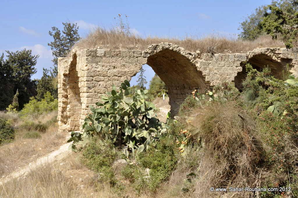
The ruins of two walls (formerly parts of a building) are visible at the site, which has been fenced in with barbed wire. Pine trees occupy much of the land on the site, and pomegranate, fig trees and cactuses are scattered throughout. The surrounding coastal lands are used by Israeli farmers for growing vegetables and fruit, particularly bananas.
------------------
Source: al-Khalidi, Walid (ed.). All that remains: the Palestinian villages occupied and depopulated by Israel in 1948. Washington DC: 1992.


