Info
District: Tiberias
Population 1948: 380
Occupation date: 04/05/1948
Jewish settlements on village/town land before 1948: None
Jewish settlements on village/town land after 1948: None
Background:
al-Tabigha before 1948
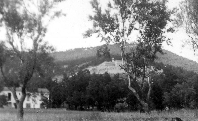
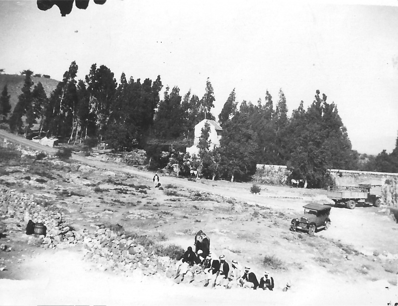
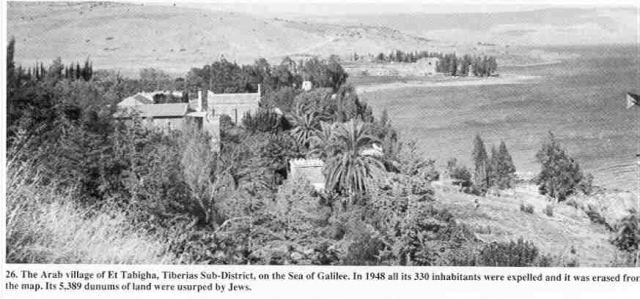
The village al-Tabigha was located on a flat terrain on the northwestern shore of Lake Tiberias. It was connected to the Tiberias-Safad highway by a spur and to a neighbouring village, al-Samakiyya, by a secondary road.
al-Tabigha was the site of the fourth century Byzantine church, which was dedicated to the memory of the miracle described in the gospels as “multiplication of the loaves”. The church was rebuilt in the 5th century and probably destroyed in the Persian invasion in the year 614. However, the mosaics in the structure are well-preserved and show considerable skills.
Both in and around the village were many springs, and the village was identified with the site of an ancient Greek village named Heptapegon, meaning “the seven springs”. In 1596, the village consisted of forty-four inhabitants and paid taxes on its crops of west and barley, as well as goats, beehives and orchards. In 1944-45, 330 people lived in the village, with 310 Muslims and 20 Christians. 2,728 dunums were allocated to cereals and 287 dunums were irrigated or used for orchards. Olive trees were planted in the North of the land, and banana groves occupied 7 dunums.
Crusaders referred to al-Tabigha as “Mensa Christi”. The Swiss explorer referred to a spring of al-Tabigha as “salty”, noting that there were houses and a mill near the spring, further reporting that some of the villagers earned a living through fishing. Another traveller, American biblical scholar, Edward Robinson, noted that he saw one or two mills on the village lands, which were driven by water from a stream, and several other mills that were not functioning. During the British mandate era, the houses extended along the lake shore and along the spur that linked the village to the Tiberias-Safad highway.
Occupation and depopulation
Shortly after the 4th of May 1948, the villagers were expelled and their houses partly destroyed during Operation Broom, designed by the Palmarch to “sweep” the Arabs out of the Jordan Valley area east of Safad. The orders given stated that al-Tabigha and two other villages were to be attacked with “their inhabitants expelled and the houses blown up”. Furthermore, the fall of Tiberias the previous month started a partial exodus from the village. The villagers stated that they fled to the neighbouring village of al-Samakiyya, whose inhabitants had five rifles for protection. On the fouth of May, they saw smoke rising from al-Tabigha and later that day, armoured cars approached al-Samakiyya. The villagers panicked and fled towards Syria without their belongings, as the Haganah fired over their heads.
Israeli Settlements on village lands
Today, there are no Israeli settlements on the the land.
The village today
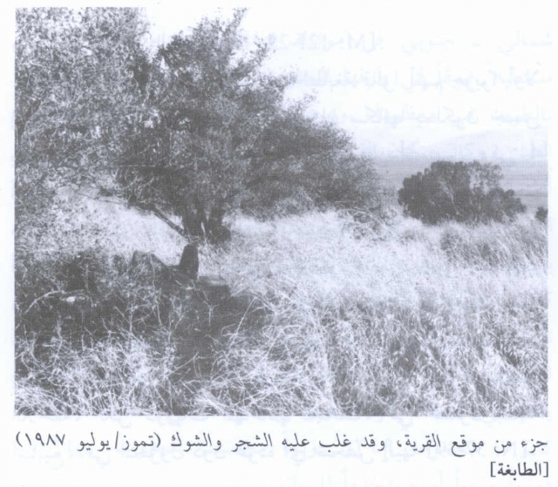
The village site is partly covered with thorn grass and cacti. It also has piles of stones and crumbled stone walls scattered about, with the Christian churches, monasteries and shrines in the vicinity still standing. One part of the surrounding area is used as grazing land and the remainder is cultivated by Israelis. The entire area is considered a major Israeli tourist site.
-------------------------------
Source: al-Khalidi, Walid (ed.). All that remains: the Palestinian villages occupied and depopulated by Israel in 1948. Washington DC: 1992.


