Info
District: Jenin
Population 1948: 1650
Occupation date: 28/05/1948
Jewish settlements on village/town land before 1948: None
Jewish settlements on village/town land after 1948: Yizre'el, Avital , Yael, A part of Prazon, A part of Meitav
Background:
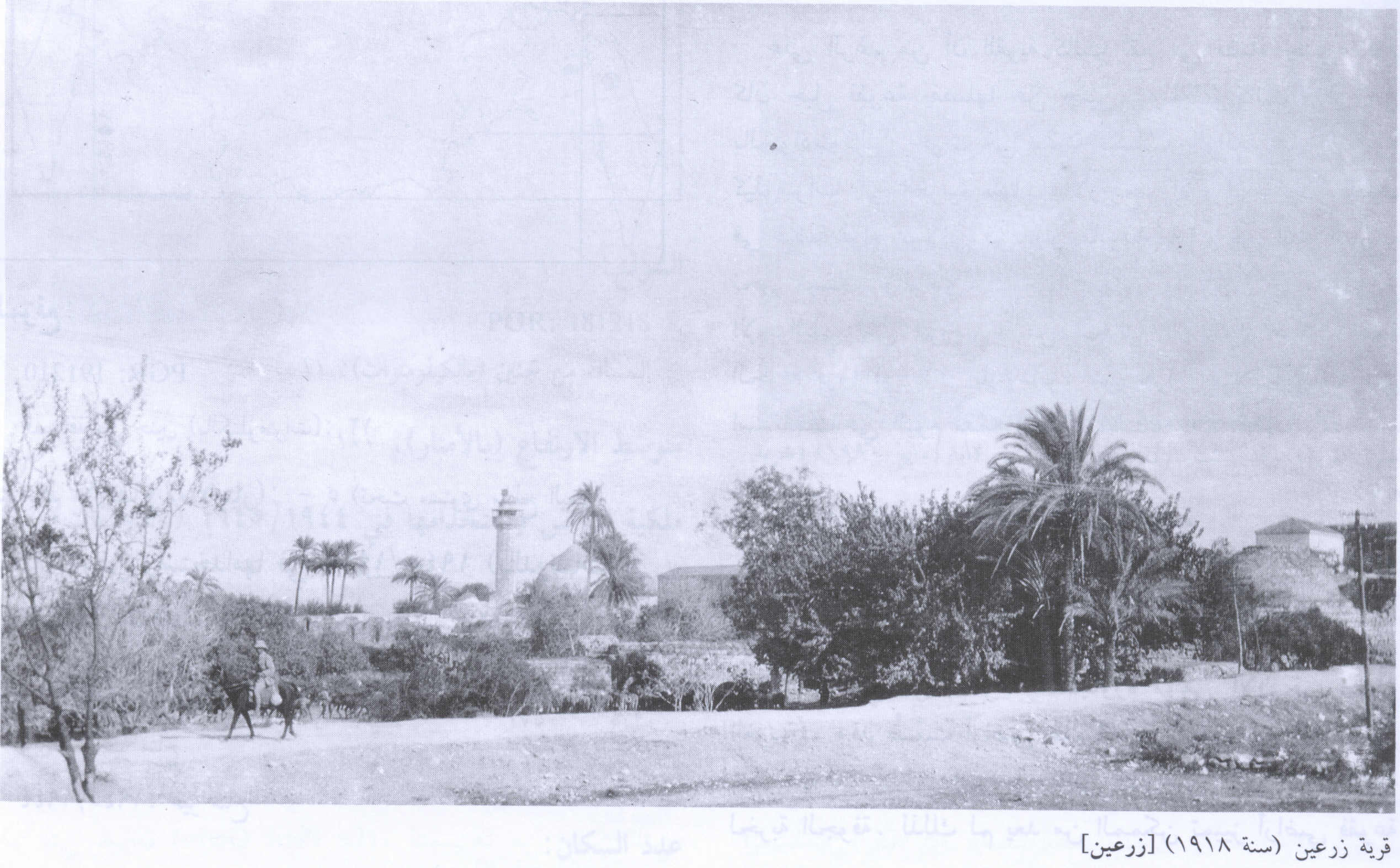
The village was located on a small plateau, a spur projecting from the Faqqu'a Mountains to the south, and 11 kilometers north from Jenin.
In March 1948, the Arab Liberation Army reported that « the Jews have been trying since the 17th of this month to eliminate these villages [Zir'in and Nuris]. » That spate of attacks was apparently suspended for about ten days on 19 March, after heavy Haganah losses. On 19 April, Palmach headquarters issued an order which read,in part : « With the capture of Zir'in, most of the village's houses must be destroyed while [some houses] should be left intact for accomodation and defense. » Those orders are quoted by Israeli historian Benny Morris, who indicates that the village was occupied in a military attack the following month.
Controlled by the ALA, Zir'in was located in a strategic commanding position overlooking the towns of Afula and Baysan. The fear of Iraqi forces from Gesherin the east and Jenin in the south to form a « spearhead » and capture the Baysan and Jezreel valleys convinced the Jews to take Zir'in. After a mortar barrage to soften it defense, the village was captured on May 28 by the Thirteenth Battalion of the Golani Brigade with « little resistance. »Women and children fled weeks prior to its capture, and after word had spread of its capture, the residents of nearby Nuris and al-Mazar also abandoned their villages. The ALA unsuccessfully attempted to recapture Zir'in two days later. On July 10, the Iraqi Army based in Jenin, intended to recapture the village, but were unable to break through Jewish lines, followed by another unsuccessful attempt on July 19, after the second truce of the war. The final armistice line was drawn just to the south of Zir'in.
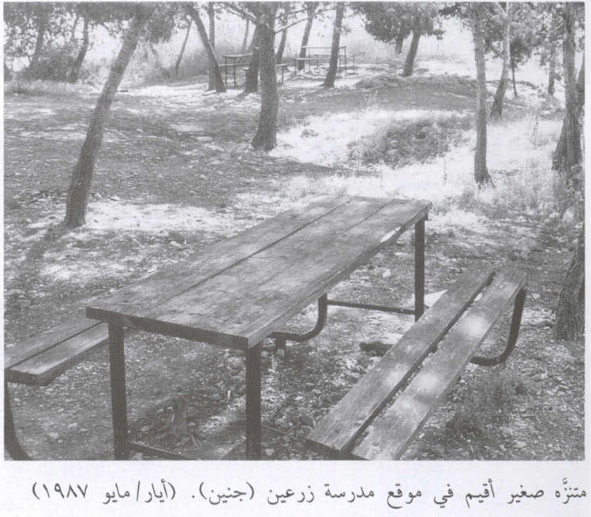
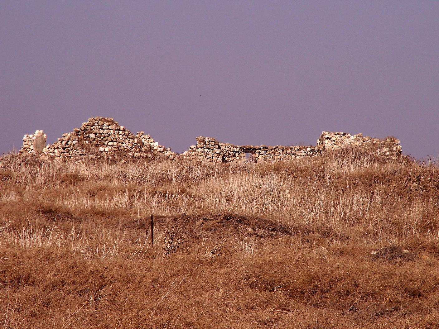
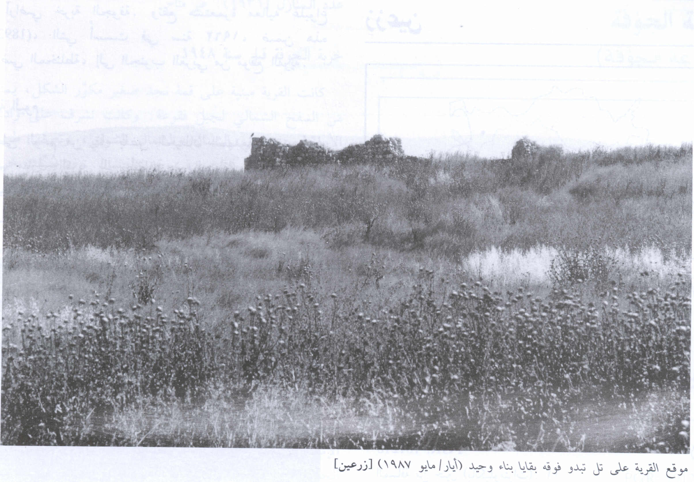
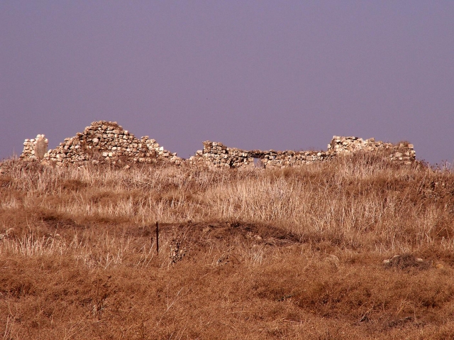
Israel established the settlement of Yizre'el on the nortwestern side of the village site in 1948. Avital was built on what whaere traditionally village lands in 1933. Only one dilapidated building remains. The site is overgrown with grass, thorns and cactuses, interspersed with prominent piles of stones. An Israeli memorial has been erected on the site and is surrounded by trees. One old well remains. Many cactuses and pomegrenate and almond trees grow on the village outskirts. The site itself and the hilly lands around serve as grazing area ; the other, sloping lands are cultivated by Israelis.


