Info
District: al-Quds (Jerusalem)
Population 1948: 300
Occupation date: 18/07/1948
Jewish settlements on village/town land before 1948: None
Jewish settlements on village/town land after 1948: None
Background:
Bayt Thul Before 1948
The village stood on the western peak of a mountain range that stretched in an east-west direction. It overlooked the coastal plain, to the west. Two deep wadis ran to the northwest along the northern and southern perimeters of Bayt Thul. It was about 2 km north of the al-Quds (Jerusalem)-Jaffa highway and was linked to it by a secondary road. Similar roads linked it to six nearby villages.
Bayt Thul is identified with Bayt Tun in the 1596 Ottoman tax records. It was a village in the nahiya of al-Quds with a population of sixty-six. It paid taxes on wheat, barley, olive trees, pasture, goats, and beehives. The village had a rectangular configuration. It was divided into two main sections, one on the east and another on the west, flanking the village center, where shops, a mosque, and a shrine were built. Most of its houses were built of stone; some were partially constructed of refused stones and columns from previous settlements. The villagers were Muslims. Most of them worked in agriculture, growing crops such as grain, vegetables, olives, and fruits.
Their agricultural lands lay to the north, east and south of the village, and were watered mainly by rainfall, although some orchards in the south were irrigated from spring. Olive trees covered two dunums of their land. In 1944/45 a total of 787 dunums was allotted to cereals; 55 dunums were irrigated or used for orchards. There were some archaeological remains in the village, such as columns and the foundation of ruined buildings. Four khirbas in the vicinity contained cisterns, formerly inhabited caves, and the foundations of buildings.
Occupation and Depopulation
Many of the villages on both sides of the coastal road to al-Quds east of al-Ramla, including Bayt Thul, were occupied during Operation Nachshon, which was launched in early April 1948. But some villages fell in subsequent weeks during the smaller sub-operations that focused on the occupation of the strategic town of al-Latrun.
Among the villages occupied fairly early was Saris, a few km to the south of Bayt Thul, as well as Dayr Yasin, somewhat further east. While Bayt Thul itself may have been affected by the massacre at Dayr Yasin, it probably fell a few weeks later in the operations which followed Nachshon. Like nearby Dayr Ayyub, it may have changed hands more than once in the course of May and June. What is certain is that it was firmly in Israeli hands by mid-July. On 18 July, Israeli forced used the village as a launching point for a failed attempt to capture the village of Safa in the final hours before the beginning of the second truce.
Israeli Settlements on Village Lands
The settlement of Nataf was founded on village land in 1982. Newe Ilan established in 1946, is close by, to the southeast, on lands that traditionally belonged to the village of Abu Ghawsh.
The Village Today
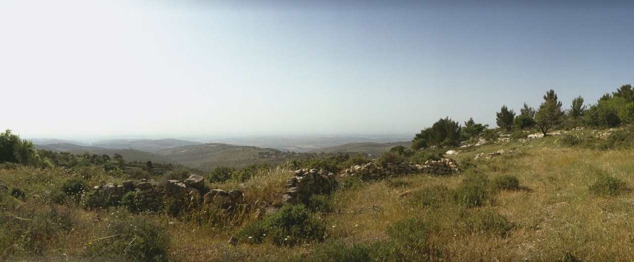
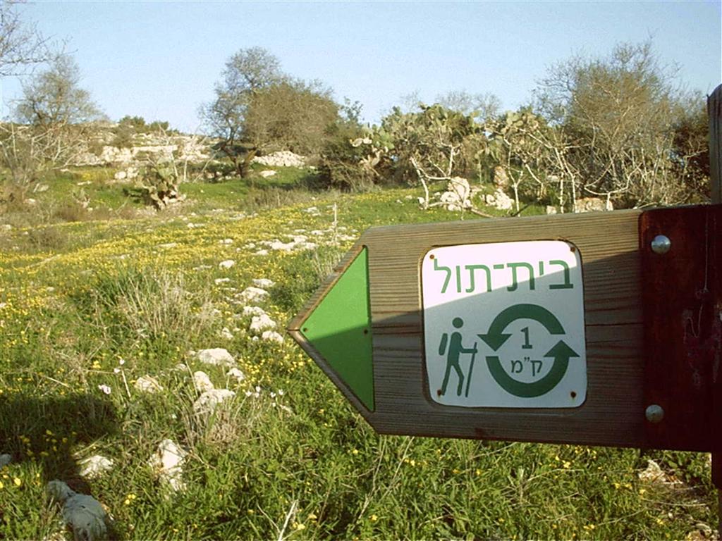
Piles of rubble are spread over a wide area on the hill. The remains of walls can be seen, with thick wild grass growing among them. Carob, cactuses, and olive and almond trees grow on terraces on the west and north sides of the site. The ruins of a large house are on the eastern side of the site, surrounded by a dilapidated wall. Two wells, carved in the rock, are still used by Palestinians who have remained in the area. Graves on the southern edge of the village are covered with weeds. A memorial has been erected for two Israeli pilots whose plane crashed on the site. A small forest on the site is dedicated to the memory of Miriam and Yehuda Lev Blichman; another forest on the site is dedicated to Hadassah/Canada.
__________
Source: al-Khalidi, Walid (ed.). All that remains: the Palestinian villages occupied and depopulated by Israel in 1948. Washington DC: 1992.


