Info
District: Hebron
Population 1948: 160
Occupation date: 27/11/1948
Occupying unit: palmah
Jewish settlements on village/town land after 1948: Nehusha
Background:
Khirbat Umm Burj Before 1948
At 17 km distance from Hebron, the village stood on a hilltop, overlooking a broad expanse of land in all four directions. In the late nineteenth century, it was described as a ruined village with a central tower that was (erroneously?) thought to be recently built. It was connected to a highway between Bayt Jibrin and Hebron, and to another one that linked Bayt Jibrin to the Jaffa-Jerusalem highway. Additional mountain tracks linked it to the area's other villages, like Dayr Nakhkhas, Surif, and Nuba.
Khirbat Umm Burj had houses made of stone which stretched out in an east-west direction, and was classified as a hamlet in the Mandate-era Palestine Index Gazetteer. On the northern tip of the site there were three wells providing drinking water. Rainfed agriculture and animal husbandry were the villagers' main means of livelihood. Originally an uninhabited khirba (ruin) that contained walls, cisterns, caves, and rock carvings, the village is thought to have been a Roman habitation, as suggested by the presence of cisterns and a columbarium.
Occupation, Depopulation and Israeli Settlements
As it was the case with nearby villages, Khirbat Umm Burj was probably occupied by Israeli forces on 28-29 October 1948, in the third stage of Operation Yo'av. Characterized by 'panic flight' and 'expulsions' [Benny Morris], this stage was also marked by atrocities, as the massacre at al-Dawayima on 29 October testified. Nevertheless, some villagers decided to remain in their homes, as it appears that on 6 November an Israeli unit was sent to 'expel refugees' in the area - 150 villagers were found in Khirbat Umm Burj. The purpose of such raids carried out between November 1948 and April 1949 was to 'clear' areas along the front lines between Israeli- and Jordanian-held territory. The village eventually fell in close proximity to the armistice lines.
The settlement of Nechusha was founded in 1982 on village lands.
The Village Today
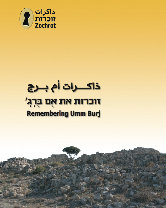
The crumbled houses that remain are attached to each other. Although the roofs and sections of the walls are gone, their windows and doors are clearly visible. Amidst the remnants, a large arch is standing, as well as a large deserted structure at the foot of the hill, on the western side of the village. On the northern and northeastern periphery of the site, there are caves which have previously been habitations.
------------------------------------------------------
Source: al-Khalidi, Walid (ed.). All that remains: the Palestinian villages occupied and depopulated by Israel in 1948. Washington DC: 1992.


