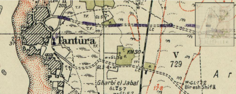
The National library has recently finished scanning a series of maps from the days of the British Mandate. The series was published by the Survey Department of the Mandate Government from 1928-1947.
The maps in the series cover all of the Land of Israel at a scale of 1:20,000, i.e. every centimeter on the map reflects 200 meters on the ground.
The maps afford a view of small details at a high resolution. Each sheet has a detailed key that enables the location of triangulation points (points used in the measuring process), benchmarks, points used to assist both during the measurement and in the preparation of the map, such as electric, telegraph and telephone cables, various religious buildings – synagogues, mosques, churches, standard railway lines, narrow gauge railway lines, and many other signs on the ground, at a high level of detail.
An outstanding sample from the series is the CARMEL sheet, marked “Sheet 14-24.” The sheet covers part of the Carmel range area, and depicts the Bat Galim neighborhood of Haifa, including its arrangement of houses, as well as the roads, streets, cemeteries, green spaces and more. The map was drawn up in 1927 and published in 1932.


