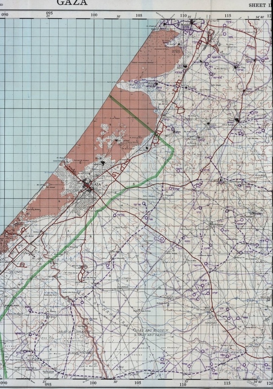
British Mandatory Map with Israeli Updates
A map produced in 1959 by the Israeli Ministry of Labor’s Surveying Department, based on a British Mandatory map from 1942. On the maps (see links below), pre-Nakba towns and villages appear in English. In purple and in Hebrew, the word “destroyed” [הרוס] appears next to destroyed Palestinian towns and villages, together with the names of Jewish settlements established in the interim period.
1959


